
EVERYSOURCEMATTERS.
Water does not follow a single discipline. Connect the science, the landscape and the decisions that shape its next use.
Recharge is purposeful storage within an aquifer. Its suitability depends on source water, geology, monitoring and the intended benefit.
ONE WATER SYSTEM.
Surface water, groundwater, treated wastewater and brackish sources interact. Start with those connections, then explore the evidence behind each option.
Read the regional context ↗KNOW THE
CONNECTIONS.
Short answers first. Then methods, trade-offs and links to the original evidence.
MAKE THE
NUMBERS CLEAR.
Three small tools for transparent calculations. Your inputs stay in your browser. Every assumption and formula is visible.
READ THE
LANDSCAPE.
Historical field notes from the SMART research programme. Read each with its original study period.
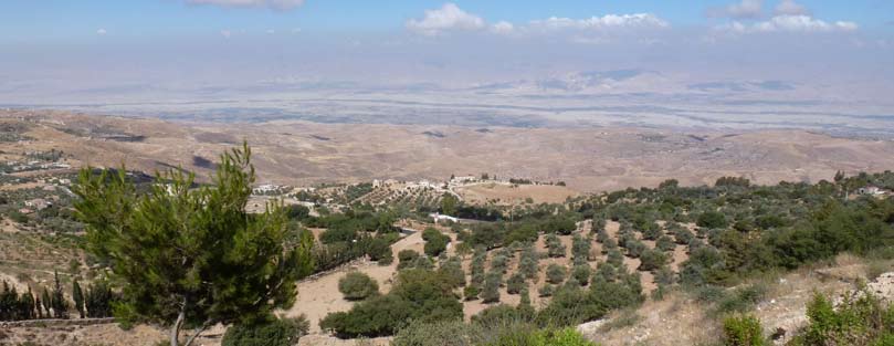
Fuheis: treatment close to the point of use
The SMART programme documented research and demonstration of decentralised wastewater treatment and reuse in Fuheis, Jordan. The case highlights the need to assess a complete service system.
Read the field note ↗FIELD NOTE / 02Wala: a reservoir is part of a groundwater system
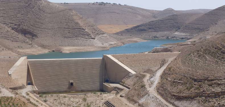
SMART investigated links between stored storm water and groundwater in the Wala area. The case shows why recharge questions need a hydrogeological system view.
Read the field note ↗FIELD NOTE / 03Jericho–Auja: from water assessment to planning
The SMART work in the Jericho–Auja area linked water-resource assessment with the comparison of management options. Technical and social questions were considered together.
Read the field note ↗KEEP THE
RESEARCH OPEN.
The complete Phase I and Phase II reports, the original brochure and recovered project documents. Original files, with their authorship, dates and source links.
Browse the libraryFor the story behind the work, visit the SMART project record.